
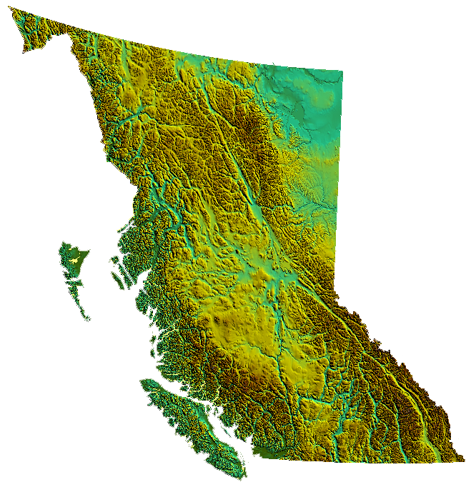
 relief of British Columbia, Canada produced from USGS data Image by No machine-readable author provided. Qyd assumed (based on copyright claims)., via Wikimedia Commons. Licensed Public domain |
The BedwellsBedwell Harbour Bedwell Harbour Add article description Bedwell Harbour is a harbour between South Pender Island and North Pender Island in British Columbia. Bedwell Harbour is close to the Canada–US border in Boundary Pass, and it is an official port of entry for sailors from the United States. Bedwell Harbour Location of Bedwell Harbour in British Columbia The Bedwell Harbour Water Aerodrome is located in Bedwell Harbour. Northeast of the settlement lies Skull Islet. GPS location: 48.747°N 123.226°W / 48.747; -123.226 [1] 48°46′36.51″N 123°16′16.46″W See also Port Browning, British Columbia References [1] "Pender island museum .org". Archived from the original on July 27, 2015. Retrieved July 12, 2015. penderisland.info History nwcruising.net Bedwell Harbour www.portbrowning.com The Resettlement of British Columbia: Essays… (Source: Wikipedia)
|
