
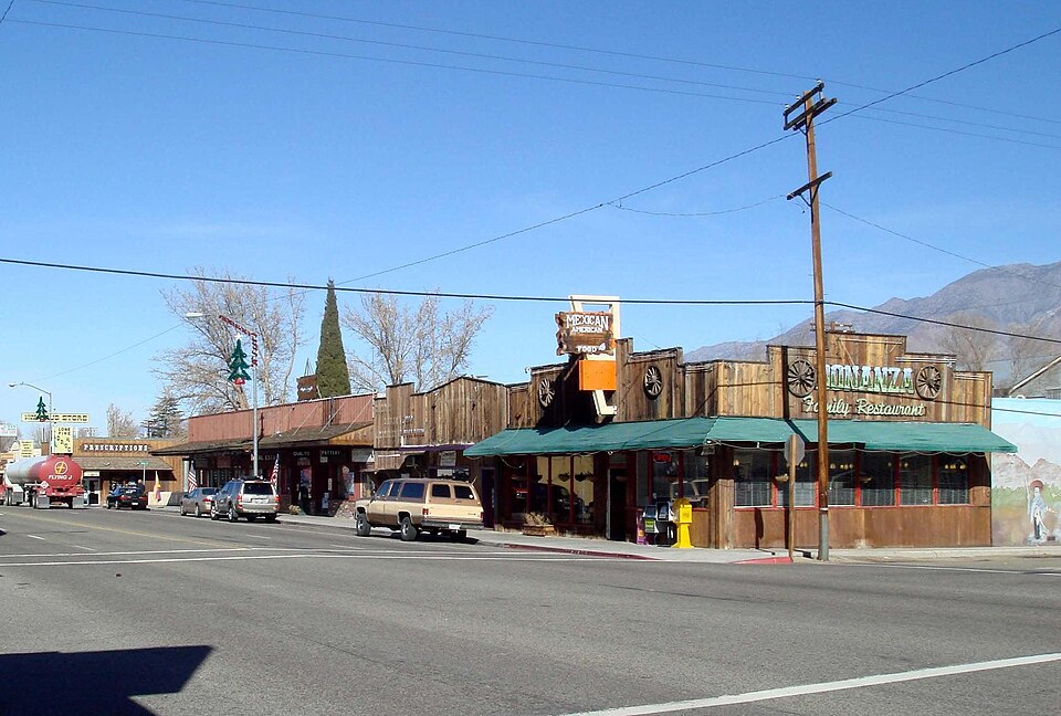
 The main street of Lone Pine, California, on U.S. Route 395. Image by original photo: Bobak Ha'Eri, cropped by: User:H-stt, via Wikimedia Commons. Licensed CC BY-SA 2.5 |
Lone Pine And His MountaineersLone Pine, California Lone Pine, California Census-designated place in California, United States For the city in Kern County formerly with this name, see McFarland, California. Lone Pine is a census-designated place (CDP) in Inyo County, California, United States,[2] located 16 mi (26 km) south-southeast of Independence.[4] The population was 2,014 at the 2020 census, down from 2,035 at the 2010 census. The town is located in the Owens Valley, near the Alabama Hills and Mount Whitney, between the eastern peaks of the Sierra Nevada to the west and the Inyo Mountains to the east. The local hospital, Southern Inyo Hospital, offers standby emergency services.[5] The town is named after a solitary pine tree that once existed at the mouth of… (Source: Wikipedia)
|
Singles


